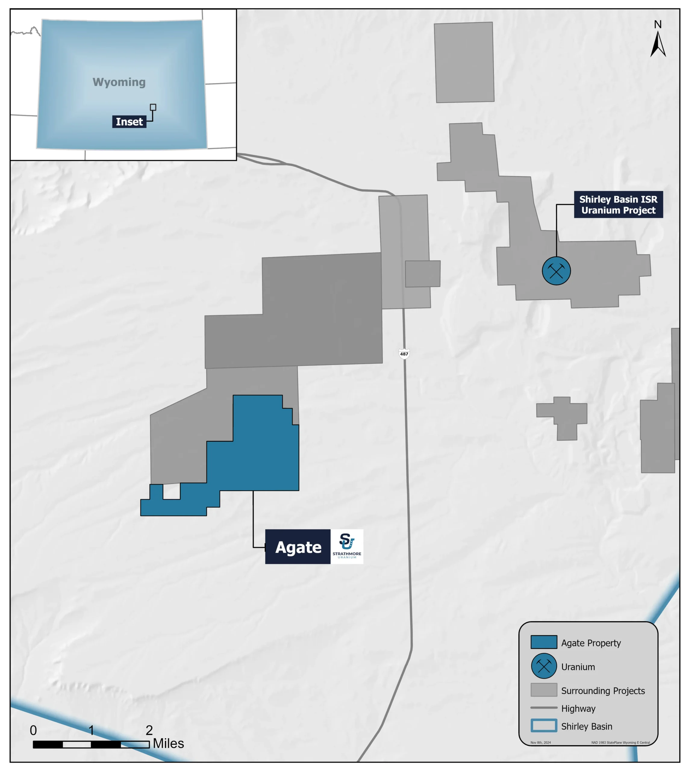
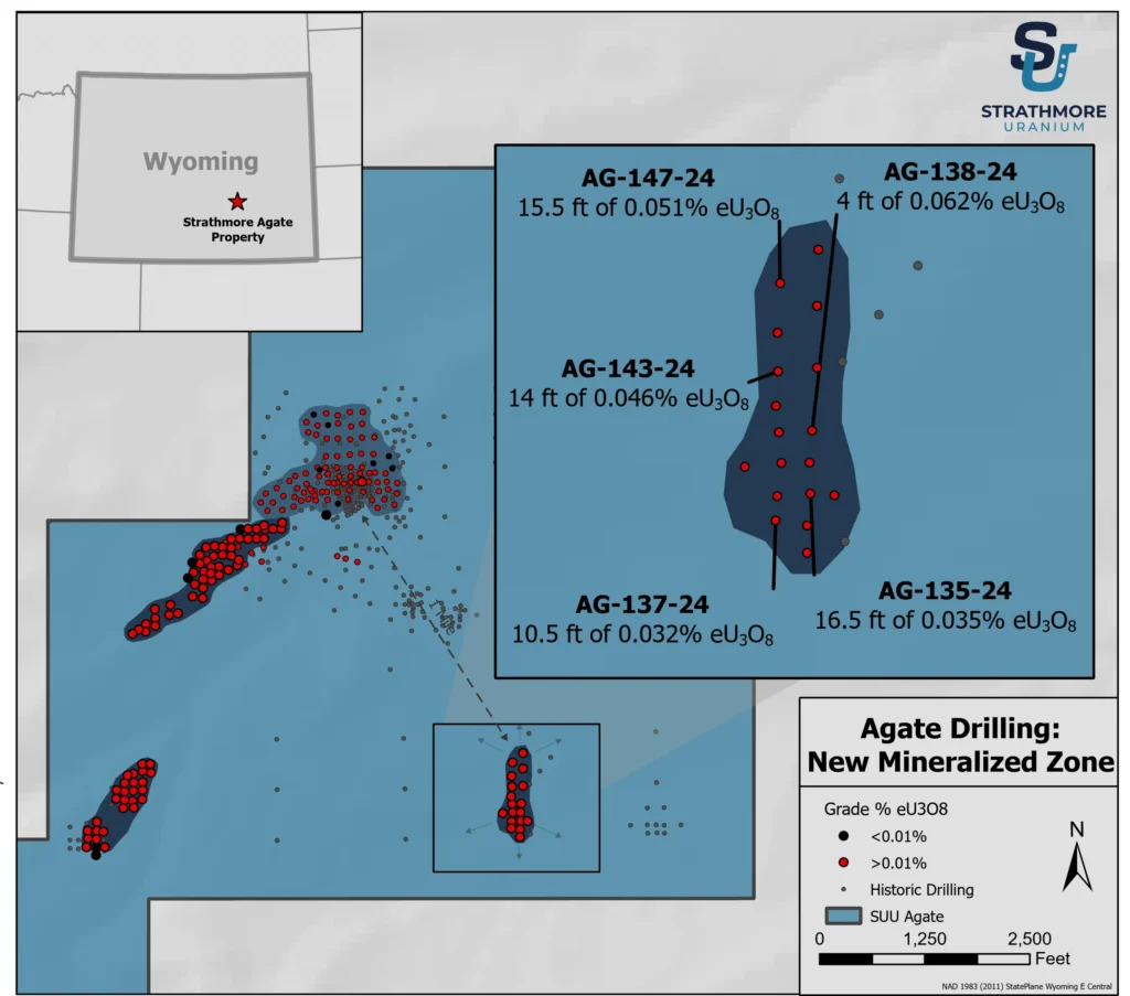
Location Map
Overview
A potential in-situ recovery (ISR) project in the Shirley Basin uranium district of Wyoming, that lies to the south of Cameco and boarders UEC properties.
The property consists of 85 mining claims covering 1,756 acres, after adding 33 new claims. Kerr-McGee Corp. historically drilled up to 650 holes in the area covered by the project.
The mineralization is shallow from 15 to 150 feet deep, and much is below the water table which may be amenable to in-situ recovery. The average thickness varies from several feet to tens of feet, with grades ranging from 0.02% to 0.14% eU3O8
Strathmore completed an additional 100 holes in 2024, with total of 200 holes and 93% of holes mineralized from depths of 80 to 150 feet deep, confirming the historical gamma data.
David Talbot of Red Cloud Securities commented:
“We continue to like what we see in the initial stages of drilling at Agate in the Shirley Basin. These holes are testing an area previously identified in up to 650 drill holes drilled by Kerr McGee in the 1970s. Roll front deposits below the water table were known at depths of 80-150 feet.
The Lower A sand of the Eocene Wind River Formation is also known for its high porosity, permeability, and transmissivity, suggesting that this area would be a very good host for potential uranium ISR mining. We believe drill holes with thicker and single intercepts, are close to the nose of the roll front, while thinner and lower grade intercepts (sometimes not reported) are interpreted to be along the limbs of the roll front deposit.
2024 Drilling Highlights
Tripled the length of the mineralized trend to 3,700 feet with first 100 holes.
Staked additional land on trend to the North and Southwest.
Five piezometer wells were completed for groundwater testing and five holes prepared for core recovery.
HOLE HIGHLIGHTS
- AG-175-24 (7.5 feet of 0.128% eU3O8 from 103.5-110.0 feet)
- AG-200-24 (15 feet of 0.116% eU3O8from 82.5-97.5 feet).
- AG-162-24 (16 feet of 0.067% eU3O8 from 87.5-103.5 feet)


